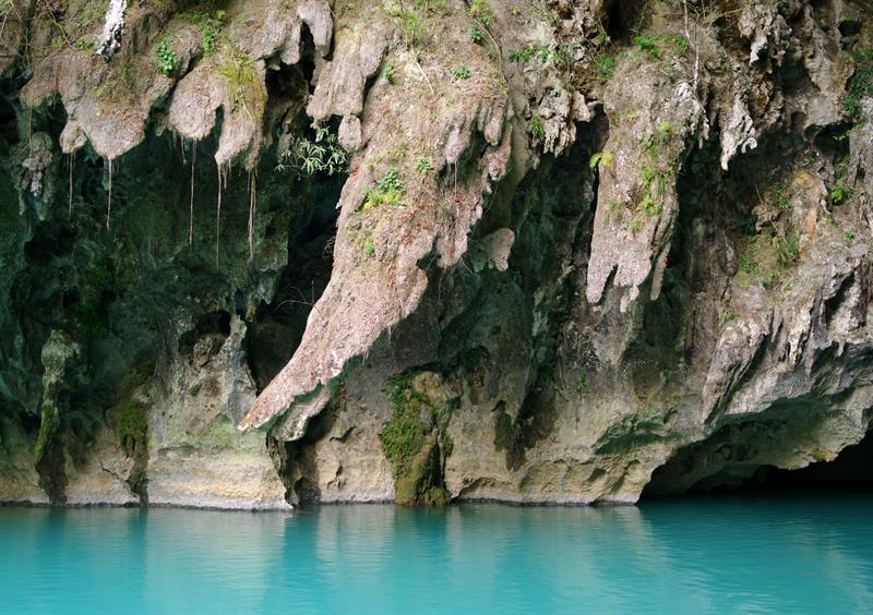
Leye-Fengshan UNESCO Global Geopark

Leye Fengshan World Geopark is located in the slope zone of the transition from the Yunnan Guizhou Plateau to the Guangxi basin. It is composed of adjacent Leye Dashiwei Tiankeng Group National Geopark and Fengshan Karst National Geopark, including eight scenic spots and two geological museums, namely, Huangyu Tiankeng scenic spot, Dashiwei Tiankeng scenic spot, Chuandong Tiankeng scenic spot, luomei Cave Scenic Spot, Buliu River scenic spot, Yuanyang spring scenic spot, Sanmen Sea Scenic Spot and Jiangzhou corridor scenic spot, as well as chuanlongyan comprehensive geological museum and Leye Tiankeng Museum. The geographical span of the Geopark is 106 ° 18 ′~ 107 ° 06 ′ e, 24 ° 18 ′~ 24 ° 50 ′ n, altitude 274 ~ 1500 meters, and the original area is 930km ², After the expansion, the park covers an area of 1113 km ²。
In June, 2016, it concluded sister parks with Wangwushan-Daimeishan UNESCO World Geopark.

